Marin County | San Francisco Bay
Hikers: Cathy, Laura, Noreen
Distance: 5.6 miles
Elevation Gain:1,271ft.
We decided to play tourists this week and headed out to Angel Island. We lucked out with having the most beautiful weather.

Saw these beauties on our walk to the ferry.


All lined up waiting to purchase tickets and to board the ferry.

Yep. I'm actually on a boat...

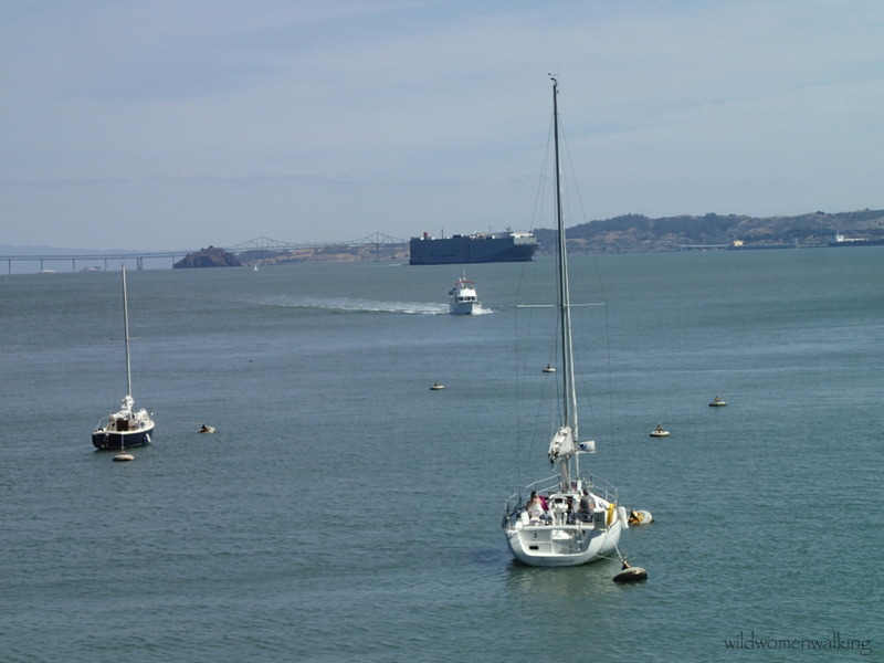
View from the ferry.


Angel Island


And we're off!


Tiburon with Mt. Tam in the background.


For as many people that were on the ferry (that runs every hour), it was not very crowded on the trails. We're guessing, most took the tram around the island.


Visitor Center


We were quite taken aback at first, at the condition of the restrooms; until we realized it was raccoons that have been busy little beavers. (Thanks Kelley! for making me do all those squats.)


Beautiful Mt. Tamalpais.

Tower of the Golden Gate Bridge.


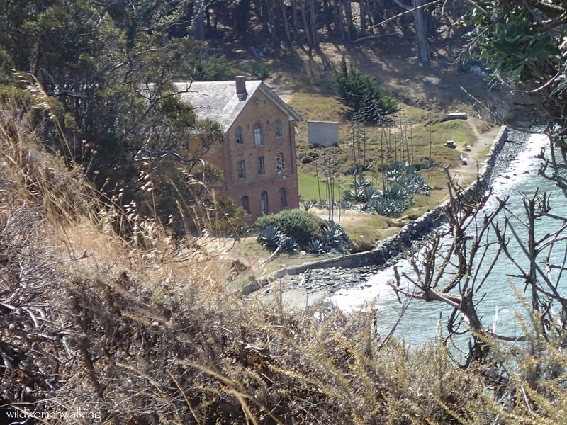
Camp Reynolds Hospital


Golden Gate Bridge


Alcatraz Island


Unfortunately, we disturbed the deer from it's cool resting spot.


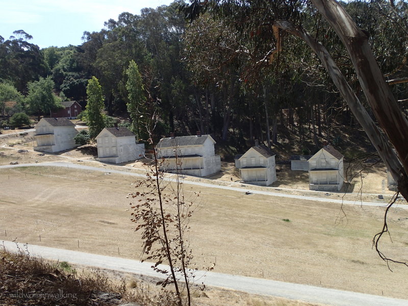
Officers quarters lining the parade field.

Officer's quarters.


Scaling wall?


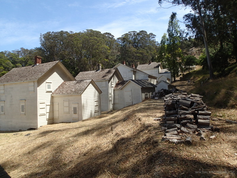
Quartermaster's warehouse.


The structure in the foreground is the bathhouse of the officer's housing.

They fired off the cannon!
(We could hear the docent telling the spectators to cover their ears and open their mouths beforehand.)


The bake house - where fresh bread was made and provided to the soldiers.


Pie safe.

The oven.


Alcatraz and The City


The white lines are the avenues of San Francisco.


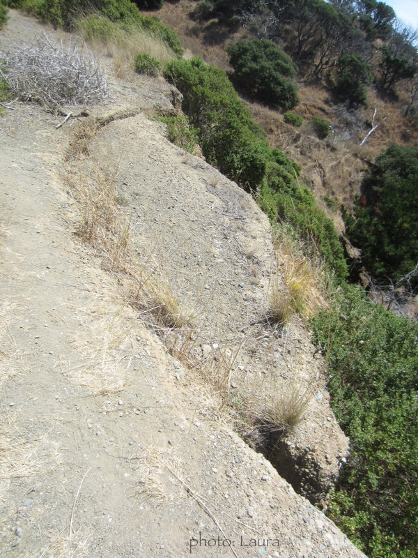
Future landslide?


Notice the light reflecting in the towers of the bridge.


Our chariot ferry awaits - actually, we were waiting for them to let us board.

(The noted distance listed at the top of this page, refers to the island only.)
Trails:
Perimeter Road, Point Stewart Loop, Fire Road, Ida Trail, Northridge Trail, Mt Livermore
No comments:
Post a Comment