Santa Cruz, CA
Hikers: Cathy, Laura, Dawn
Distance: 6.2 miles
Elevation Gain: 1,159 ft.
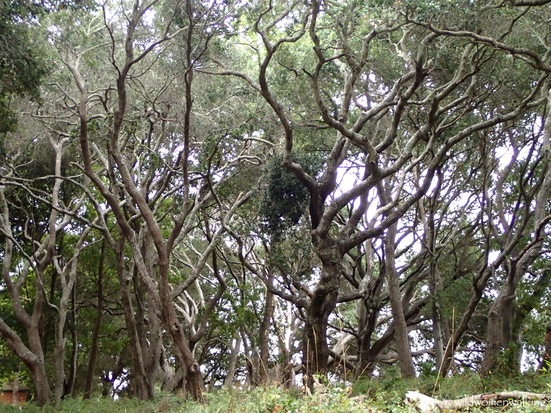
An incredibly beautiful park, to say the least.

Seen at the Tannery Arts Center.

Artist's live/work quarters.


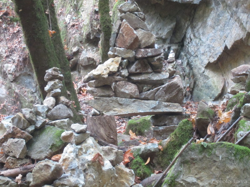
Amazing rock garden. The photos just do not do it justice.

Notes left throughout the garden.


Spring box.

Koi pond.


(Trail not taken.)


Ranger station.


Blackberry field.


This was one of the filming locations for The Lost Boys. The exterior was used for Grandpa's house in the movie.


Deer.

Backside of house.


Perfect spot for an egg break. :)


Aww, cheer up mister rock.


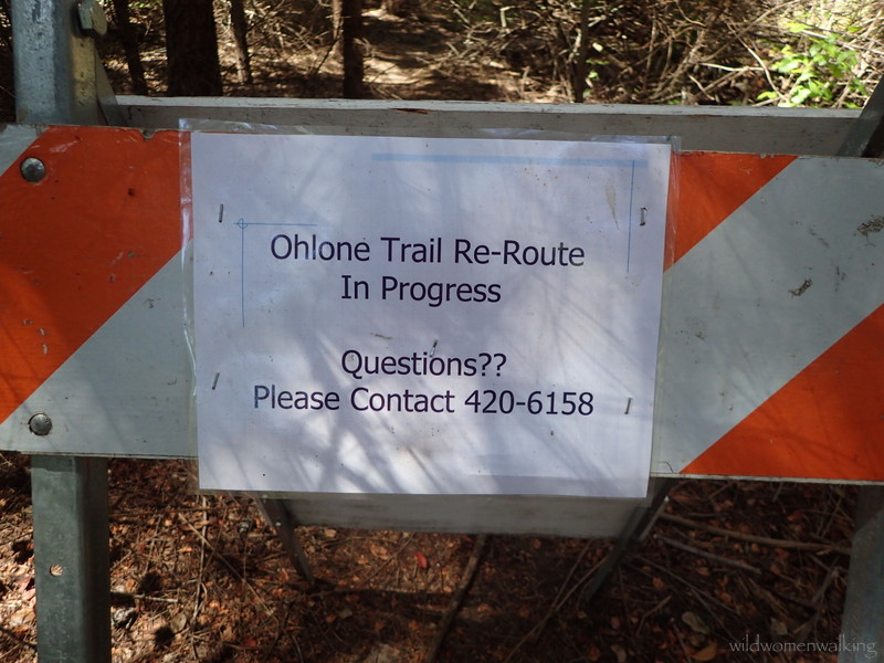

Hmmm, hope we end up where we want to be. (We did.)


Trails:
Rincon Connector Trail, Rincon Trail, Lime Kiln Trail, Rincon Trail, Spring Box Trail, Brayshaw Trail, Golf Club Drive, Pogonip Creek Nature Loop, Lookout Trail, Spring Trail, Ohlone Trail, Fern Trail, Rincon (& connector) Trail.
(We parked at the Rincon Trail parking lot on Hwy 9)
No comments:
Post a Comment