San Jose, CA
Hikers: Cathy, Laura
Distance: 8.1 miles
Elevation Gain: 1,743 ft.
We were on our way to La Honda when we saw snow atop Mt. Hamilton from the freeway; decided to take a detour! Unfortunately the road was closed to the summit, so we had to enjoy it from a distance from an adjoining park, Joseph D. Grant County Park.


Snowy Mt. Hamilton


Ranch House


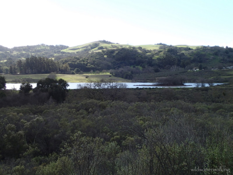
McCreery Lake


Buckeye seeds.


Layers. Lots of layers! Five, plus arm warmers; and I was still cold at times.


The blue strip is sky, not water; and those are some heavy clouds, not fog.


Lick Observatory atop Mt. Hamilton.

Check out those clouds!!


We just can't get enough pictures of bare trees.. love em.

..or clouds.


Grant Lake


Well, there is the trail (upper left) we wanted to take back - didn't happen though.


Double Rainbow!

Trails:
Hotel Trail, Loop Trail, McCreery Lake Trail, Yerba Buena Trail, Canada Pala Trail, Halls Valley Trail.
Gorgeous, as always! Thank you, ladies!
ReplyDeleteThank you! :)
Delete