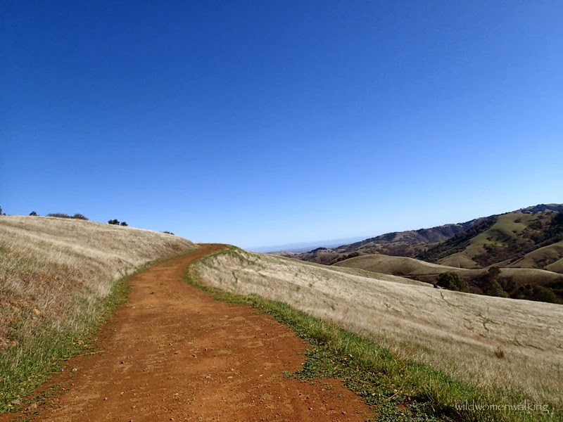
Contra Costa County
Hikers: Cathy, Laura, Noreen
Distance: 8.53 miles
Elevation Gain: 1,708 ft.
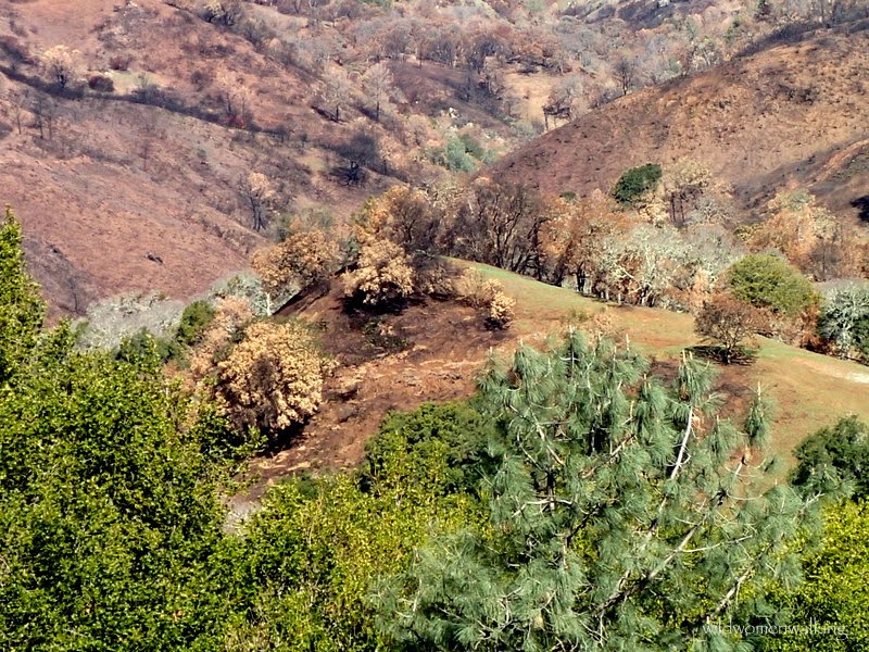
Our beloved Mt. Diablo suffered major fire damage back in September from the Morgan fire. Today, we found beginnings of new life.
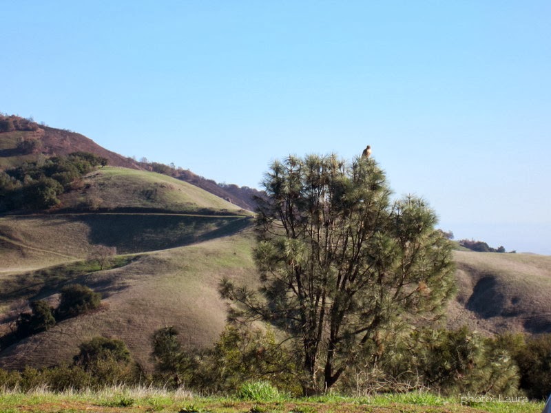
We were greeted by this lovely hawk as we got out of the car.


Critter print! ;)

The buckeye tree - one of our favorite.

A little muddy in the beginning.


Coyote.. mountian lion (?) prints tracking deer prints.


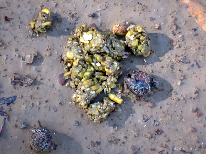
Wild pig trap filled with corn.

Caught one apparently..

Yep. That is a pool of blood..
Interesting scat.


More scat.


Broken bits of porcelain - possibly a toilet?

Olympic size pool.


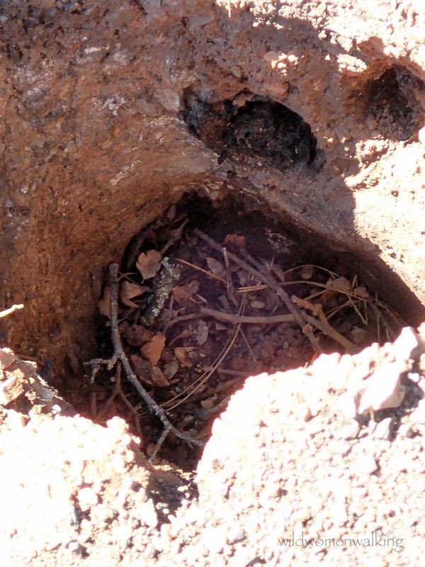
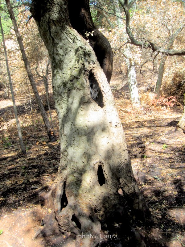
This is a hole where there once stood a tree. You can even see the tunneling roots burned away.

Such beauty amongst the devastation.


Rock City in the middle.

Close-up of Rock City.


Trails:
Hi, I follow your hikes to look at the beautiful pictures you take and to get information on hikes that a friend and I lead on Tuesdays, mostly in Contra Costa County. We did this same hike yesterday, very windy up there! Distressing to see the blood in the pig trap....The prints following the deer were most likely coyote prints. Mountain lions and bobcats don't walk with their claws out. Carlene
ReplyDeleteCarlene, thanks for the animal print tip!! It was crazy windy yesterday; my husband rode up Diablo and they only went as far as the junction. Happy trails - Cathy
ReplyDelete