Marin County
Hikers: Cathy, Laura, Noreen
Distance: 13 miles
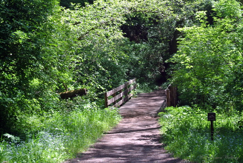
Incredibly beautiful hike. Can you say green?

Saw this on the drive in. Could it be a white peacock?


Cool bench.


Maybe they are going to make another cool bench out of this log.


Wild strawberries.

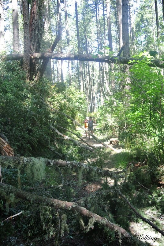
This picture is from our last hike. The following pictures show what it turns into.


Upward indeed...


Made it to the top of Mount Wittenberg (1,300-foot climb). Only to find a tree-encircled viewless summit.


Again unedited other than contrast enhancement.

Contrast enhancement only. You can see in the background a broken tree-top laying on the ground.


Tomales Point shrouded in a bit of haze.

Snake grass.


Could this be some sort of raptor's nest?


Which way to go?


How cool is this tree!


Leafmining tracks.


Arch Rock - our lunch spot.


He/she was waiting patiently for us to share our lunch. It was hard, but we refrained - though others did not.


Bikes are allowed only on a portion of Bear Valley Trail - to reach Arch Rock you need to park and walk.


The hike was beautiful from beginning to end!


According to Garmin - total elevation gain was 1952 feet.
Trails:
Mt. Wittenberg Trail, Sky Trail, Coast Trail, Bear Valley Trail