Sunol, Ca
Hikers: Cathy, Laura
Distance: 6.81 miles
The first (and last) mile or so is not for the faint of heart, and if you are not a fan of fire-roads such as ourselves, this may not be for you, for the entire "loop" is just that.
Entrails.
No, we are not morbid people - we just find all forms of nature interesting.
We love our bare/dead trees.
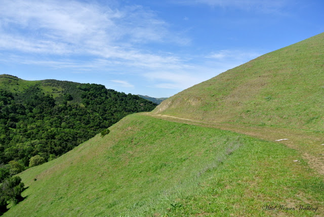
As you can see there is not much room on this trail.
Maguire Peaks - our destination.
Good thing for this marker, for the trail has all but disappeared.
Getting closer.
These rocks look like a good place to sit and have a snack, or so we thought - until we heard the rattler..
We'll sit on the bench!
My sissy - she so funny.
The trek up to the summit.
San Antonio Reservoir
The trek down.
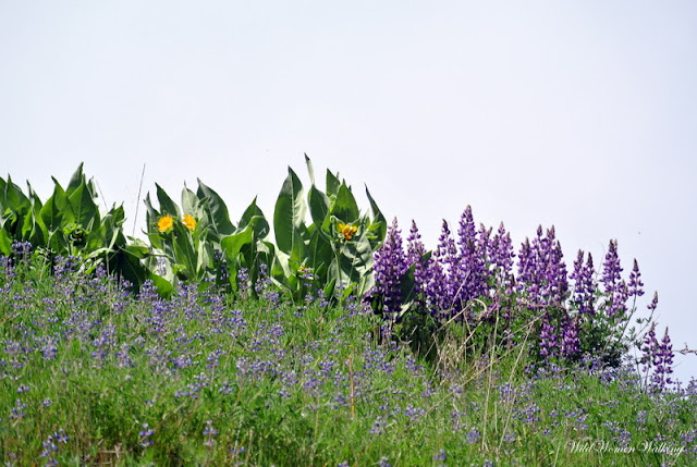
You can't tell from the picture, but there is this line of rocks going down the hill and in-between were yellow and purple flowers. So pretty.
Stock pond.

Trails:
Upper Maguire Peaks*, Maguire Peaks Loop
Sunol Regional Wilderness:
Click here for brochure and here for a park map.
*Not for the faint of heart - there is a Lower Maguire Peaks trail down the road from Upper Maguire Peaks. This may be a better way; though we have not been on this trail.


No comments:
Post a Comment