Livermore, Ca
Hikers: Cathy, Laura, Noreen, Dawn
Distance: 8 Miles
Elevation Gain: 1,675 feet
What a "B"eautiful day today! Bobcat, beaver pelt (?), bones . . . even the bare bones of an automobile.


Ant hills.


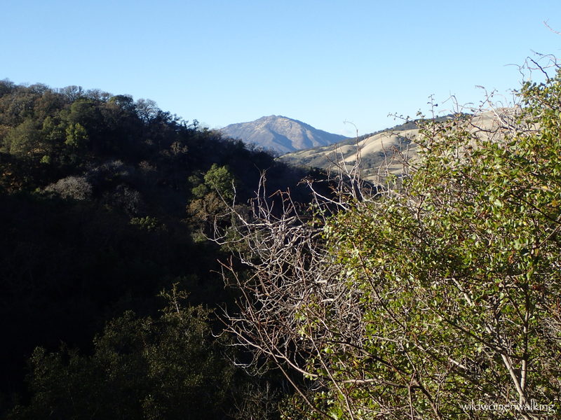
Our beloved Mt. D.


Buckeyes were everywhere!


How cool are skull sutures?!!


Love this view from Roger Epperson Ridge.

Gorgeous day atop Roger Epperson Ridge.


More ant hills.

Beaver pelt? It was a fresh kill, still some pink within the fat layer.


Beaver dam?


This is where Raven Trail ends, and should pick up the Bay Creek Trail across the road and to the left according to the park map.


We found what we thought to be the trail, however we came upon a locked gate and a no trespassing sign - we did make our way through and went a short distance, and looking at the map, it didn't make sense so we backtracked and went back up the road to Highland Ridge Trail trailhead instead; only to find when I looked at my Strava when I returned home, that we were on Bay Creek Trail. I messaged the park district about this, and at the time of this posting I have not received an answer, only a reply that they received my message (not an automatic reply - said they forwarded my message to a park ranger and it would be a few days before they got back to me).


Cellphone placed for size comparison of this huge bone we came upon.


Thrilled to see this beauty!


A most amazing buckeye tree.


I dub this "The Branch of a Thousand Faces".


"Posthenge"


Trails:
Clyma Trail, Highland Ridge Trail, Roger Epperson Ridge, Fox Trail, Raven Trail, Morgan Territory Road, Highland Ridge Trail, Stone Corral Trail, Coyote Trail, Condor Trail.
Morgan Territory Regional Preserve
Clyma Trail, Highland Ridge Trail, Roger Epperson Ridge, Fox Trail, Raven Trail, Morgan Territory Road, Highland Ridge Trail, Stone Corral Trail, Coyote Trail, Condor Trail.
Morgan Territory Regional Preserve
No comments:
Post a Comment