Marin County
Hikers: Cathy, Laura, Noreen
Distance: 5.5 miles
Elevation Gain: 1,551 ft.


Making our way to the top of that peak.


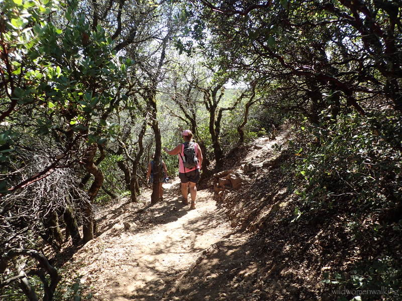
Switchbacks.

Just about there . . .

We made it! The Verna Dunshee Trail.


The overhanging rock looks like a giant head, doesn't it?
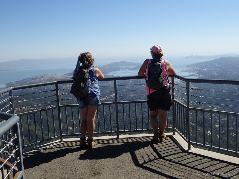

Mt. Tam lookout.


More boats than usual due to Fleet Week in The City.


Trails: Hogback Fire Road, Gravity Car Road, Old Railroad Grade Fire Road, Vic Haun Road, Temelpa Road, Verna Dunshee Trail, Fern Creek Trail, Old Railroad Grade Fire Road, Hogback Fire Road.
Click here to read for the story of Combat Aircrew Charlie.
No comments:
Post a Comment