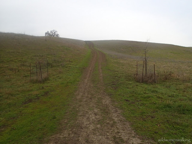
December 27, 2015
Contra Costa County
Hikers: Cathy, Laura
Distance: 10.89 miles
Elevation gain: 2,434 ft.
Floating shards of ice.
It was chilly.
Bird on a wire limb.
The grass under the trees, looked like velvet.
Pretty sure the temps never reached above 45° today.
China Wall ahead!
View from our snack spot.
Fun prints !
The black star shows were we had to turn around and go back to China Wall - where I had dropped my phone... On our return, we decided to go back the way we originally came (which is more strenous).
Trails:
Foothills Trail, Hazard Hill Trail, Franco Ranch Loop Trail, Stone Gate Trail, Alamo Trail, Briones to Mt. Diablo Regional Trail, plus a little wandering...
Diablo Foothills Regional Park
For an alternate (shorter/easier) route to China Wall, visit Bay Area Hiker's blog for directions. She has a wonderful blog; it has lots of useful information for each hike she does - such as length of hike, foot traffic, trail surfaces, best season to hike, etc.
For even a shorter route, click here.
For even a shorter route, click here.


