Fairfax, CA
Hikers: Cathy, Laura, Noreen
Distance: 7.3 miles
Elevation Gain: 2,062 ft.
Another waterlicious and wonderful hike - thank you rain gods!
Beautiful park - however, the signage of trails, or should I say, lack of signage, is horrible; even with three maps we could not make heads or tails as to where we were. Thank goodness for the young man who new his way around, when we came to an unmarked three way intersection.
A candle.. which had disappeared on our return.
Spur trail - doesn't look very steep; then again, looks can be deceiving.
Bon Tempe Dam
Elevation marker, I presume.
Coyote, or is it a fox?
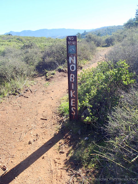
In case you're not sure . . . NO BIKES!
Heed this sign to the fullest!!
My rear wheal was ever so slightly on the pavement, in which I received a $53.00 ticket for "parking on pavement".
Trails:
Highwater Trail, (Cascade Falls), Middle Fire Road, Burnt Tree Trail, Wagon Wheel Trail, Blue Ridge Trail, spur trail, (White Hill), White Hill Fire Road, unmarked trail.
We started from Elliott Nature Preserve at the end of Cascade Drive - only a couple of parking spots available, unless you park about a mile or so down the road for more street parking.


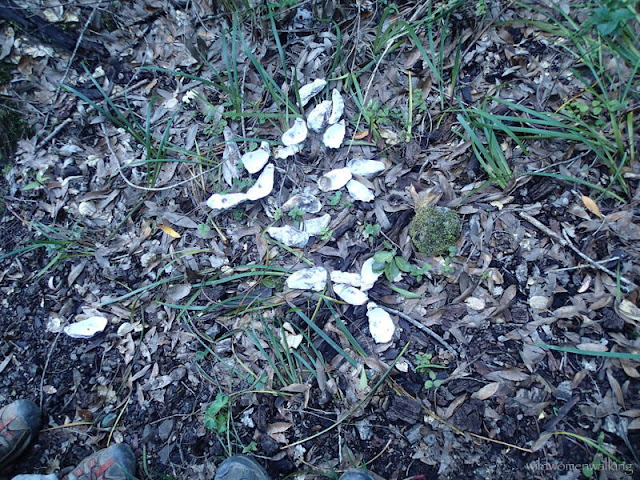
Happy California water -- Yay!! And mushrooms galore. And mussel shells...huh? Lovely. Thank you!!
ReplyDeleteYou got it Liz! Lovin' the water. :) My thought exactly in regard to the shells. You're welcome, and thank you, for visiting our page.
ReplyDelete