Fairfield, CA
Hikers: Cathy, Andy / Cathy, Laura, Noreen
Distance: 4.34 miles /4.36 miles
Elevation Gain: 804 ft. / 948 ft.
I visited Rockville twice in as many days. The first being a "date day" with the hubby, then came back the next day with the girls (a bit different route).
Day one:


Oh shit. Now to get back down. Not fun (for me).


Looks more like a pond than a lake. This has been the driest year ever for California. A little scary.


Hey, good lookin'..


RATS is a mountain biking group. There was a cupboard filled with extra bike parts if needed.


Can they build houses any closer together?


Trails:
Lower Quarry, Cave, Rock Garden, Pond Pass, Tilley Connection, Lower Tilley, Upper Tilley, Rockville
Day two:


Gotta kick out of the name "Unknown".


Hmmm.. what's that?

I chose to stay at the bottom this time..


The Vortex.
Strange things happened here. Noreen's phone gps went crazy in this spot. When I went to take a picture, my camera screen had brought up a "scope" that was twirling around. Dodododoo..


Yep. That's our trail - Cascade Trail.
At the top we met some bikers planning a trip down this. Yikes.

They sent the youngest down first. At least he was wearing a full-face helmet. He flew down - and made it safely, I'm happy to report. :)

This guy was a bit more apprehensive.


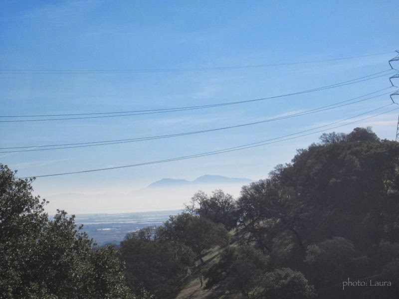
Diablo. :)

No change from yesterday. Ha ha ha.


Cool bench.

The Devil's Backbone.

 Trails:
Lower Quarry, Cave, (Vortex), Unknown, Unknown Meadow, Sunset Cave, Fern Falls, Cascade, Jockey Junction, (The Wall), Mystic Ridge, Bay Area Ridge, Pond Pass, Wild Turkey, Devils Backbone
There is a permit fee of three dollars per person. Permits are located at the entrance. Cash and credit cards accepted.


